Guides · GUIDE 04
Living in Tarvisio in four seasons
The same valley, four times. Our photos, as they were that day.
Winter
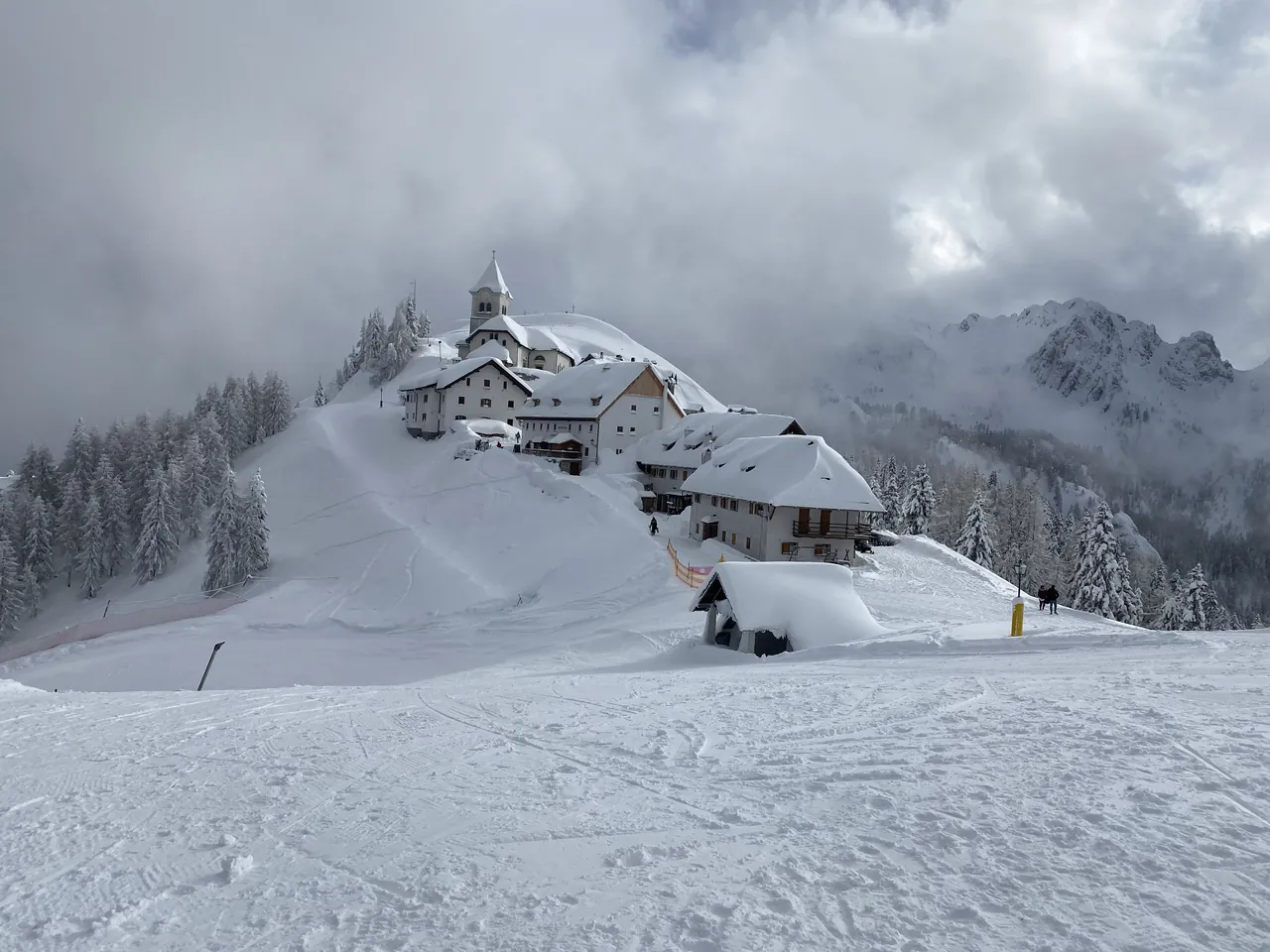
Central Tarvisio lies at 751 metres. Above it, Monte Lussari: summit at 1,789, sanctuary at 1,764, measured on our terrain model. Around the sanctuary is the highest village in Friuli Venezia Giulia, PromoTurismoFVG writes.
You go up by gondola from Camporosso: 3,070 metres of cable, 91 eight-seat cabins, 11 minutes 10 seconds. You come down on skis along the Di Prampero run: 3,920 metres, from 1,757 to 817 metres, a 940-metre drop, its steepest pitch at 47%.
The ski area has 24 km of downhill runs, 55 of cross-country trails and 10 lifts, between 754 and 1,756 metres. For 2026-27 PromoTurismoFVG announces the winter opening for Saturday 5 December.
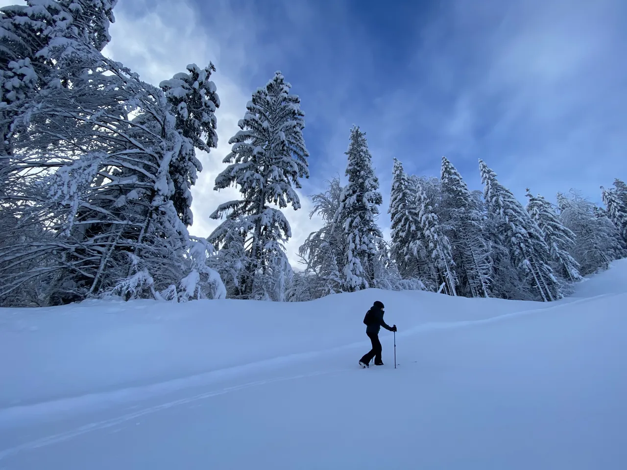
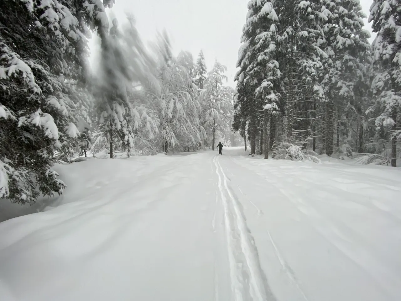
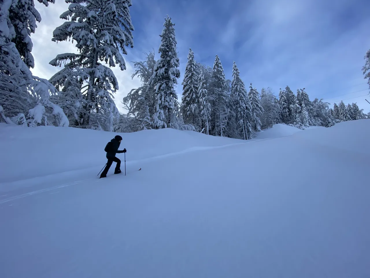
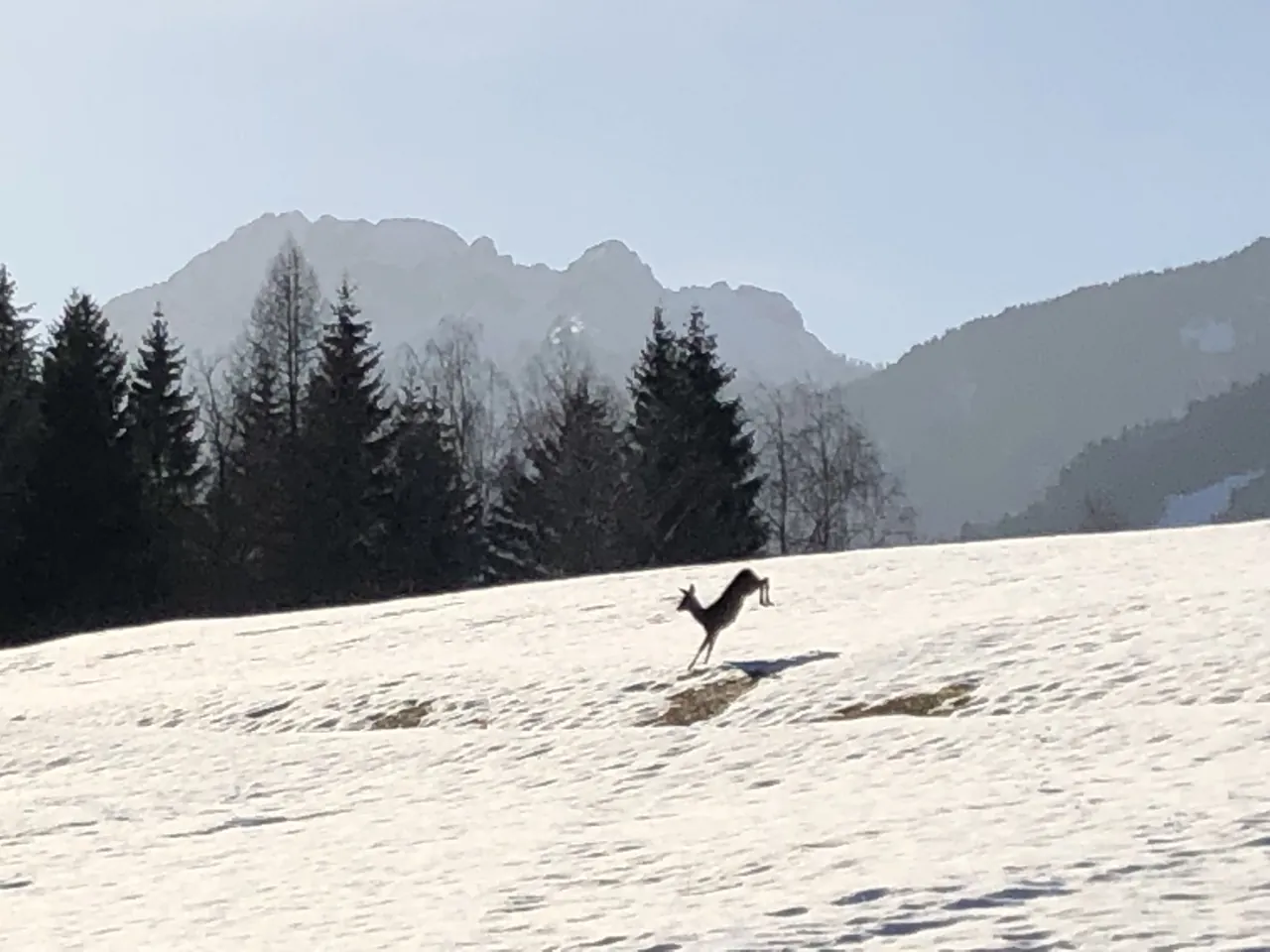
Then there's winter without lifts. Cross-country in the Fusine woods, snowshoes in the Val Canale, someone's footprints ahead of yours. And a roe deer, in February, leaping through the snow outside the house.
How much snow? It depends on the year, a lot. The ARPA FVG–OSMER station in Tarvisio (794 m) measures snow depth on the ground. From 1999 to 2026 the February average was 25.6 cm. But it ranged from zero, in 2020, to 106.7 cm, in 2009. The highest depth recorded: 205 cm.
The cold is what the height suggests: January averages -2.2 °C, and a year has on average 135 nights below zero.
Winter sun is the real question: in the square on 21 December it lasts 3 hours 56 minutes. In the outlying villages it ranges from three to six and a half hours. Our sun guide goes village by village.
Spring
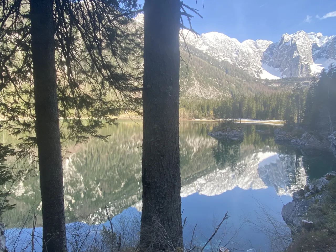
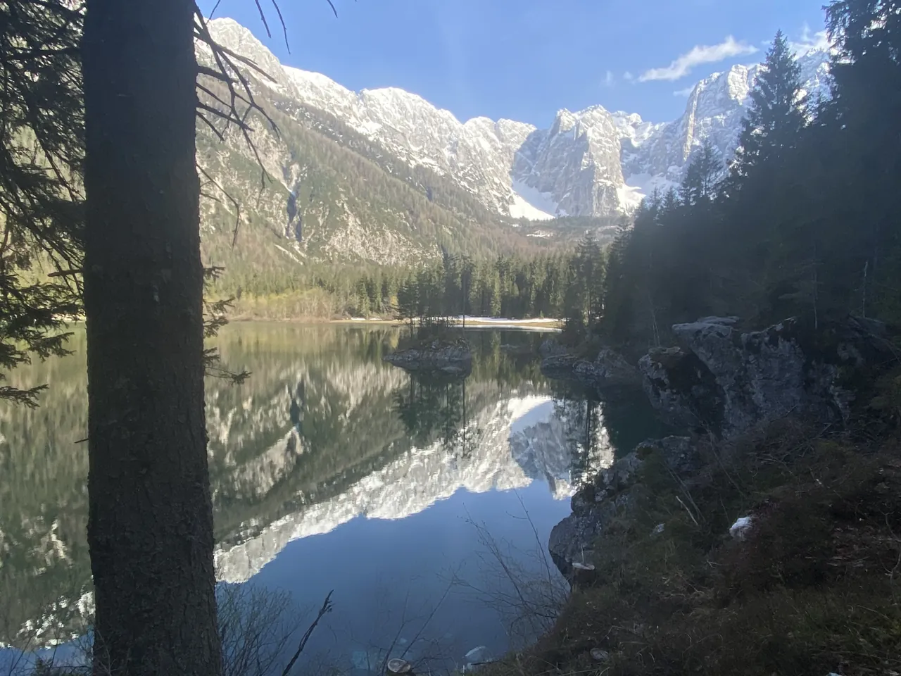
In May the Fusine lakes are a mirror. There are two: the lower one at 926 metres, the upper a little higher. Above the upper lake stands the Mangart, 2,678 metres, and there's a second one in the water. We photographed it on 8 May 2021 at 17:26, and again a minute later.
The basin is protected twice over. It's a Natura 2000 site, special area of conservation and special protection area ("Conca di Fusine", IT3320006). And the lakes area has been under landscape protection since 1956.
April averages 7.8 °C, May 12.2. The meadows turn green under peaks still white.
Summer
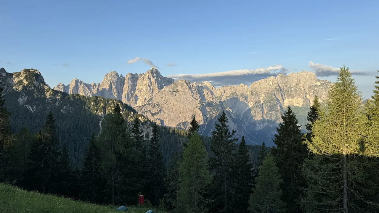
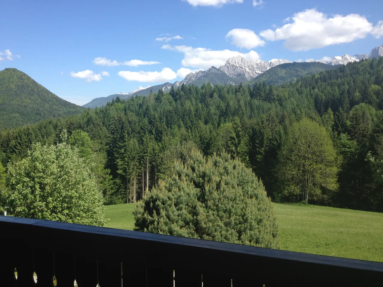
At six in the morning, late June, the Julian Alps light up one after another seen from the Lussari. Ours is from 6:02 on 29 June 2024.
In summer the Lussari gondola runs every day: in 2026 from 30 May to 27 September. Up there, writes the Archdiocese of Udine, is "the only place" where a Mass is celebrated in three languages, if not four.
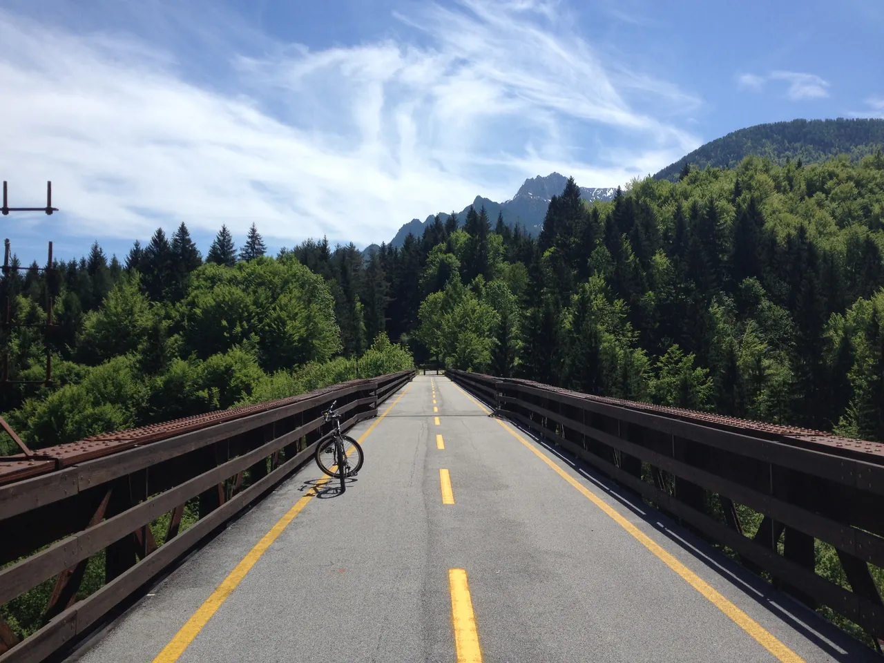
By bike there's the Alpe Adria cycle route: Salzburg to Grado, 415 km according to its official site. In Friuli Venezia Giulia it's the FVG1, Tarvisio to Grado, 176.9 km in three stages. The first, Tarvisio–Venzone, is 64.6 km and follows the old Pontebbana railway, closed in stretches between 1995 and 2000. Since 13 July 2024 you ride on the old railway bed all the way to Carnia station. Our bridge is at Fusine, 15 May 2012.
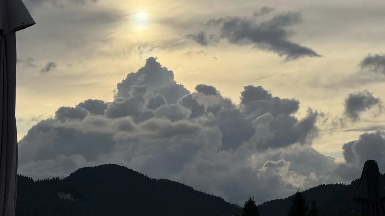
July averages 18.0 °C. In the evening the sky over the ridge builds enormous clouds.
Autumn
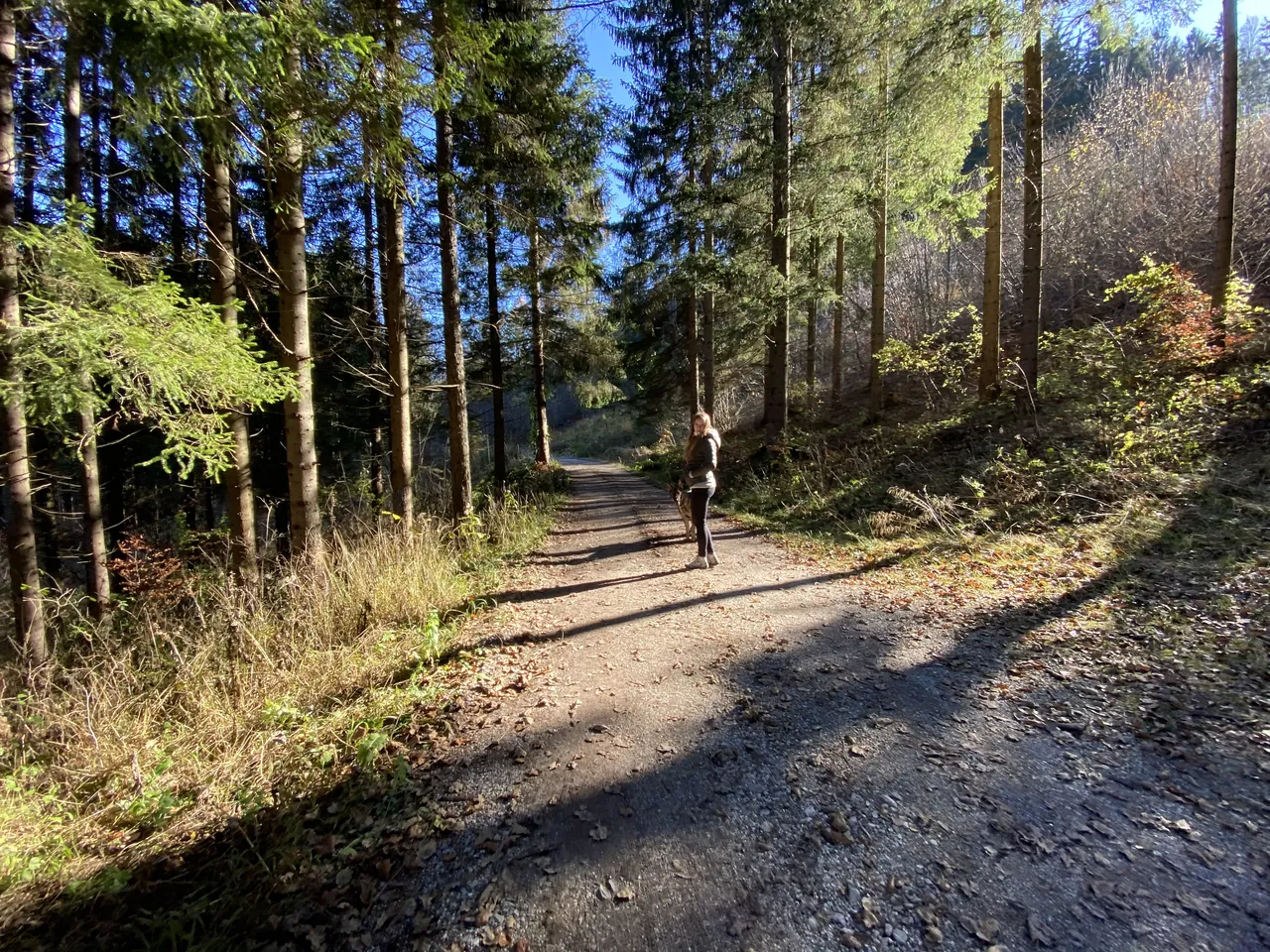
All around lies the Tarvisio Forest: 23,300 hectares, between 600 and 2,500 metres. It belongs to the Fondo Edifici di Culto of the Italian Interior Ministry and is managed by the Carabinieri Biodiversity unit in Tarvisio. Inside are two strict nature reserves: Rio Bianco (378 hectares) and Cucco (21). In 1919, with the Treaty of Saint-Germain, the forest passed to the Italian State.
October averages 8.7 °C, November 3.2. We recorded the stream on 15 October 2017 at 14:34: on the site, the sound is the real one.
The stream is real. 15 October 2017.
Three borders
Above Fusine rises Monte Forno: Peč to Slovenians, Ofen to Austrians. At the top Italy, Austria and Slovenia meet, at 1,508 metres on our terrain model (PromoTurismoFVG says 1,509). From Fusine you drive up, then walk about 45 minutes.
Here a border is something you cross to go out for dinner. Kranjska Gora is 21 minutes by car, Villach 26 (OSRM estimate, no traffic).
Who lives here
Tarvisio had 3,903 residents on 1 January 2025 (ISTAT). The estimate for 2026 is 3,850. The municipality is made up of the communities of Camporosso, Cave del Predil, Coccau, Fusine and Tarvisio (municipal statute, art. 2). Valbruna, to the west, belongs to the municipality of Malborghetto-Valbruna.
On the valley map every photo has its spot, rounded to a hundred metres, and its season. If you're looking for a house here: tell us what and how much, and we search. +39 331 8940822
Frequently asked questions
Is Tarvisio good to live in all year round?
It depends on what you're after. The numbers: January averages -2.2 °C with 135 nights a year below zero; on 21 December three to six and a half hours of sun in the village centres we computed; July averages 18 °C. Tarvisio has 3,903 residents (ISTAT, 2025).
How much snow does Tarvisio get?
The ARPA FVG–OSMER station (794 m) measures snow on the ground, not snowfall. From 1999 to 2026 the average February depth was 25.6 cm, but from zero (2020) to 106.7 cm (2009). The highest depth recorded is 205 cm.
Where should I look for a house to ski, to cycle, or for the sun?
To ski, Camporosso: the Lussari gondola starts there and the Di Prampero run ends there. To cycle, along the Alpe Adria route, from Fusine to Tarvisio and south. For winter sun, Coccau and Rutte: see our sun guide.
When does the Lussari gondola run?
In winter with the ski season, announced for 2026-27 from Saturday 5 December 2026. In summer 2026, from 30 May to 27 September. PromoTurismoFVG publishes the dates.
Is the Alpe Adria cycle route open in winter?
Between Tarvisio and Venzone, no: it closes for the cold season. FVG Strade announces closure and reopening each year.
Who owns the Tarvisio Forest?
The Fondo Edifici di Culto, a body of the Italian Interior Ministry. The Carabinieri Biodiversity unit in Tarvisio manages it: 23,300 hectares, with two strict reserves.
Sources, read on 18/11/2026
Our LiDAR terrain model; PromoTurismoFVG (Di Prampero and gondola, ski area, summer opening, Monte Forno, FVG1 and C101); Archdiocese of Udine; Region FVG (Natura 2000; landscape plan); Alpe Adria cycle route; RFI greenways atlas; FVG Strade; Carabinieri; ARPA FVG–OSMER (CC BY-SA 3.0 IT); ISTAT; municipal statute; OSRM on OpenStreetMap.
The sources, with their titles in the original language:
- Quote: nostro rilievo LiDAR (fatto il 18/11/2026): Tarvisio 750,7 m; Monte Lussari 1.788,8 m; santuario 1.763,7 m; Lago di Fusine inferiore 926,1 m; Mangart 2.677,9 m; Monte Forno 1.508,1 m (cime.json).
- PromoTurismoFVG, pista Di Prampero e telecabina: turismofvg.it/it/ski-world-cup-tarvisio-2026/la-di-prampero
- PromoTurismoFVG, Tarvisio (piste, impianti, apertura invernale prevista): turismofvg.it/en/mountain365/tarvisio
- PromoTurismoFVG, aperture estive 2026: turismofvg.it/it/montagna365/tarvisio/calendario-aperture-estive-tarvisio
- Arcidiocesi di Udine, «I tre popoli in preghiera sul Monte Lussari» (22/07/2020): diocesiudine.it/i-tre-popoli-in-preghiera-sul-monte-lussari/
- Regione FVG, siti Natura 2000 (IT3320006 «Conca di Fusine», ZSC e ZPS): regione.fvg.it/rafvg/cms/RAFVG/ambiente-territorio/tutela-ambiente-gestione-risorse-naturali/FOGLIA203
- Piano paesaggistico regionale, scheda dei laghi di Fusine (vincolo del 1956): decreti.regione.fvg.it/Storage/2018_111/Allegato49%20al%20DPReg%200111-2018.pdf
- Ciclovia Alpe Adria, sito ufficiale (415 km): alpe-adria-radweg.com/en/
- PromoTurismoFVG, FVG1 Ciclovia Alpe Adria (176,9 km, tappe, sedime fino a Carnia dal 13/07/2024): turismofvg.it/it/bike/fvg1-ciclovia-alpe-adria-c100 · Tarvisio–Venzone (C101): turismofvg.it/en/bike/tarvisio-venzone-c101
- RFI, Atlante delle greenways (sedime dismesso fra il 1995 e il 2000, p. 43): rfi.it/content/dam/rfi/rete/RFI%20ATLANTE%203%20GREENWAYS%2010_12_19%20WEB%20D.pdf
- FVG Strade, chiusura invernale della ciclovia: fvgstrade.it/it/26248/chiusura-invernale-delle-piste-ciclabili-alpe-adria-e-ciclovia-della-carnia
- Carabinieri, Foresta di Tarvisio: carabinieri.it/chi-siamo/oggi/organizzazione/tutela-forestale-ambientale-e-agroalimentare/comando-tutela-biodiversita'-e-parchi/utcb-e-le-130-riserve-naturali/utcb-di-tarvisio/foresta-di-tarvisio-(cucco-e-rio-bianco)
- PromoTurismoFVG, Monte Forno e il triplo confine (e, per il borgo più alto della regione, turismofvg.it/code/13780): turismofvg.it/it/fvglivexperience/trekking-sul-monte-forno-alla-scoperta-del-triplo-confine
- ARPA FVG – OSMER, Stazione di Tarvisio (794 m), elaborazioni mensili 1999-2026 (aggiornate al 05/11/2026): temperatura media, giorni con minima sotto 0 °C, media e massima assoluta dell'altezza della neve, in meteo.fvg.it/clima/clima_fvg/01_elaborazioni_(grafici_e_tabelle)/ · dati CC BY-SA 3.0 IT.
- ISTAT, popolazione residente al 1° gennaio 2025 e stima al 1° gennaio 2026 (Tarvisio, 030117): demo.istat.it/data/posas/POSAS_2025_it_030_Udine.zip · demo.istat.it/data/posas/POSAS_2026_it_030_Udine.zip
- Statuto del Comune di Tarvisio, art. 2 (Ministero dell'Interno): dait.interno.gov.it/documenti/statuti/statuto-comune-ud-tarvisio.pdf
- OSRM su dati © OpenStreetMap, tempi da piazza Unità, 18/11/2026.
SOURCES READ ON 18/11/2026WRITTEN BY CLAUDE, TRIESTEVILLAS AI ASSISTANT. CHECKED AGAINST THE SOURCES.