Guides · GUIDE 01
How much sun does a house in Tarvisio get in winter?
ON 21 DECEMBER, DIRECT SUN IN PIAZZA UNITÀ LASTS 3 HOURS 56 MINUTES.
It rises over the Mangart at 9:19 and drops behind Monte Priesnig at 13:14. With a flat horizon the same day would give 8 hours 34 minutes.
SOURCE · OUR COMPUTATION ON THE FVG REGION LIDAR TERRAIN · SUN CHECKED AGAINST SUNRISE-SUNSET.ORG
Why sun is a serious question here
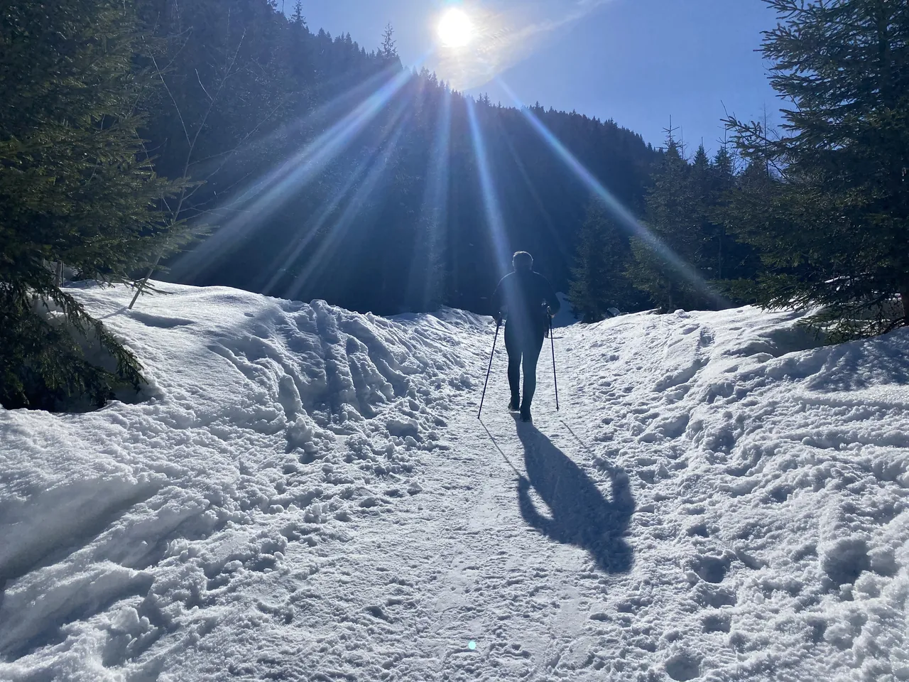
In Tarvisio it isn't latitude that decides. It's the mountain across from your house.
At noon on 21 December the sun stands 20 degrees above the horizon, its lowest of the year. A slope a kilometre and a half away, half a kilometre higher than you, is enough to hide it.
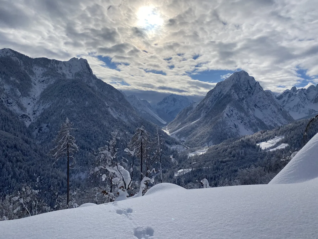
The Val Canale runs east to west, with the Julian Alps to the south: Jôf di Montasio (2,753 m), Jôf Fuart (2,666 m), Mangart (2,678 m). In winter the sun travels low, right along that side.
So of two houses three kilometres apart, one can get more than half as much sun again as the other. That isn't a figure of speech. We measured it.
21 December, village by village
One point per place: the village centre as mapped by OpenStreetMap (for Tarvisio, Piazza Unità). Clear sky, eye two metres above ground. Heights from our terrain model.
| Place | Height | First sun | Last sun | Direct sun | Rises over · sets behind |
|---|---|---|---|---|---|
| Tarvisio, Piazza Unità | 750 m | 9:19 | 13:14 | 3 h 56 | Mangart · Monte Priesnig |
| Camporosso | 804 m | 9:52 | 13:59 | 4 h 07 | Monte Florianca · Monte Lussari |
| Valbruna (Malborghetto-Valbruna) | 808 m | 9:51 | 13:13 | 3 h 22 | Monte Lussari · Schwarzenberg |
| Fusine in Valromana | 758 m | 10:07 | 14:02 | 3 h 56 | Monte Castello · Picco di Mezzodì |
| Cave del Predil | 896 m | 11:03 | 14:22 | 3 h 19 | Visoka špica · Vette Scabre |
| Coccau di Sopra | 779 m | 8:52 | 15:23 | 6 h 31 | Ponza Grande · Cima del Cacciatore |
| Coccau di Sotto | 722 m | 8:58 | 15:22 | 6 h 24 | Ponza Grande · a rise 500 m away |
| Rutte Grande | 805 m | 8:59 | 15:20 | 6 h 21 | Piccolo Mangart di Coritenza · a rise 300 m away |
| Rutte Piccolo | 800 m | 10:03 | 15:15 | 5 h 12 | Montebello · Jôf Fuart |
March and June
| Place | 21 March 2027 | 21 June 2027 |
|---|---|---|
| Flat horizon, for comparison | 12 h 12 | 15 h 49 |
| Tarvisio, Piazza Unità | 11 h 22 | 13 h 58 |
| Camporosso | 11 h 11 | 13 h 58 |
| Valbruna | 7 h 29 | 14 h 13 |
| Fusine in Valromana | 11 h 17 | 13 h 41 |
| Cave del Predil | 6 h 52 | 11 h 17 |
| Coccau di Sopra | 9 h 43 | 14 h 18 |
| Coccau di Sotto | 9 h 03 | 13 h 07 |
| Rutte Grande | 10 h 56 | 14 h 09 |
| Rutte Piccolo | 10 h 09 | 14 h 42 |
What the table says
- Coccau di Sopra, Coccau di Sotto and Rutte Grande, east of town, get over six hours on 21 December: half as much again as the square.
- Cave del Predil is the tightest valley floor. The sun arrives after 11. In March it stays under seven hours, against a good eleven in the square.
- Valbruna gets little winter sun and wins it back late: 7 h 29 in March. In June it is among the sunniest: 14 h 13.
- Fusine has the square's hours, shifted by almost an hour: from 10 to 2.
- None of the centres in the table goes whole days without sun. But it takes little. The point OpenStreetMap labels "Coccau" lies 230 metres from Coccau di Sopra and 60 metres lower, at the foot of a slope rising 20-60 metres to the south within a hundred. From 12 to 31 December it gets no direct sun. Coccau di Sopra, the same day, gets six and a half hours.
The village name isn't enough. The exact spot is what counts.
What it means if you sell, or buy
For anyone buying in the mountains, winter sun is one of the first questions. Having it measured before the viewing removes a doubt and can save a trip.
For a seller it's a fact to put on the table. If the house is sunny, the number proves it. If it's in shade, better to say so up front, to the minute, than let a buyer find out in January.
We give no figure for value. We have no measure linking sun hours to price in Tarvisio, and we won't make one up.
The same goes for heating. In the sun hours, sun-facing rooms warm up on their own. What that means for the bills depends on insulation and windows, the house's energy certificate (APE). Not on this table.
What the computation doesn't see
- Trees, neighbouring houses, your own roof. The model is bare ground: one spruce in front of a window can take hours away. That's what we come and look at.
- Clouds and fog. These are the possible sun hours, under a clear sky.
- Anything changed after 2009: the laser survey was flown between 2006 and 2009.
We found no measured sunshine hours for Tarvisio. The ARPA FVG–OSMER weather station (794 m) measures global radiation: how much solar energy reaches the ground, clouds included. From 1999 to 2026 December averaged 3,675 kJ/m² a day, June 20,904. Almost six times as much.
How we compute it, and how precise it is
- Terrain. FVG Civil Protection LiDAR: 1-metre terrain model, flown 2006-2009, resampled to 5 metres. Across the border, where there's no LiDAR, Copernicus at 30 metres, corrected. Further out, up to 80 km, a model at about 106 metres.
- Horizon. From each point, every half degree of direction, we find the terrain that rises highest, with the Earth's curvature and atmospheric refraction.
- Sun. Its position every 30 seconds, with Meeus's algorithm. A point counts as "in the sun" when it sees the upper edge of the disc above the ridge.
- Check. Flat-horizon sunrise and sunset match the public ephemeris of sunrise-sunset.org within 40 seconds on three dates (21 December 2026, 21 March and 21 June 2027).
- Sensitivity. Redone on 12.7 m and 25 m terrain, every centre in the table moves by 4 minutes at most. Where a slope is within 200 metres it moves much more: in Coccau, on the Lussari summit. There the exact spot has to be seen.
- Height. Ten metres above ground, as from a roof, Camporosso gains 25 minutes and Fusine 12.
- The tool. "Your house" runs the same computation on your phone, on the same 5-metre terrain around the spot you tap. For the points in this table it gives the same times, 2 minutes apart at most. Of 200 random points in the basin, 192 keep their sun hours within 5 minutes; the largest gap, 19 minutes, is where the sun grazes the edge of a ridge.
Tap the spot on the map. You get the height, first and last sun on 21 December, 21 March, 21 June and today, and the peaks it rises over and sets behind. The point stays on your phone. Rather talk it through? +39 331 8940822
Frequently asked questions
Which part of Tarvisio is sunniest in winter?
Of the points we computed, the villages east of town: Coccau di Sopra (6 h 31 on 21 December) and Rutte Grande (6 h 21). The tightest valley floor is Cave del Predil (3 h 19). But the exact spot matters: in Coccau, 230 metres take you from six and a half hours to none.
Are there houses that never see the sun in winter?
Not among the centres in the table. Such spots do exist: one in Coccau, at the foot of a slope, gets no direct sun from 12 to 31 December. The "Your house" tool tells you for your own point.
Does it work for a building plot?
Yes, it's the right measure for one. The model is bare ground, with no houses or trees: before you build, it tells you how much sun the plot gets. Trees need a separate look.
Why 21 December?
Because it's the day the noon sun is lowest: 20 degrees in Tarvisio, and the shortest astronomical day (8 h 34). At the points we computed, the minimum of sun hours falls between 20 and 23 December.
Are these clear-sky hours?
Yes. They are the hours when direct sun can arrive. Clouds and fog take them away.
Can I get the sun card for my house?
Yes. The tool downloads it as an image. If you then ask for a valuation, the card reaches us inside your message.
Sources, read on 18/11/2026
FVG Region Civil Protection LiDAR DTM 1 m (IRDAT 10659; licence CC BY 4.0 in the national data catalogue, IODL 2.0 in the IRDAT delivery email: the two disagree, we are re-checking); Copernicus DEM GLO-30 (© DLR e.V. 2010-2014, © Airbus Defence and Space GmbH 2014-2018, provided under COPERNICUS by the EU and ESA); Mapterhorn elevation tiles; © OpenStreetMap contributors (ODbL 1.0); sunrise-sunset.org API; ARPA FVG–OSMER, Tarvisio station, mean daily global radiation 1999-2026 (CC BY-SA 3.0 IT); the site's own code.
The sources, with their titles in the original language:
- Regione FVG – Protezione Civile, LiDAR, modello digitale del terreno a 1 m (scheda IRDAT 10659), elementi scaricati da irdat.regione.fvg.it/cartogdownload/DTM_PCR/1M/6708/ · licenza: CC BY 4.0 per il catalogo nazionale (dati.gov.it, scheda DTM_01_PCRFVG), IODL 2.0 per la mail di consegna dell'IRDAT: le due fonti non concordano, la riverifichiamo.
- Copernicus DEM GLO-30, AWS Open Data (copernicus-dem-30m), tessera N46 E013 · © DLR e.V. 2010-2014 e © Airbus Defence and Space GmbH 2014-2018, fornito nell'ambito di Copernicus da UE ed ESA.
- Mapterhorn, tessere di quota oltre il riquadro: tiles.mapterhorn.com/.
- OpenStreetMap, punti dei paesi e nomi delle cime · © i contributori di OpenStreetMap, ODbL 1.0.
- sunrise-sunset.org, alba e tramonto a Tarvisio (46,51 N · 13,55 E): api.sunrise-sunset.org/json?lat=46.51&lng=13.55&date=2026-12-21&formatted=0&tzid=Europe/Rome (e le date 2027-03-21, 2027-06-21).
- ARPA FVG – OSMER, Stazione di Tarvisio (794 m), «Media della radiazione globale giornaliera, 1999-2026», aggiornamento del 05/11/2026: meteo.fvg.it/clima/clima_fvg/01_elaborazioni_(grafici_e_tabelle)/11_radiazione/dati_elaborati/dati_rete_micros_dal_1990/tabelle_per_stazione/mensili/01_media_della_radiazione_globale_giornaliera_/TARVISIOM_RG_.pdf · dati CC BY-SA 3.0 IT.
- Il calcolo: il codice di questo sito, lo stesso dello strumento «Casa tua», eseguito il 18/11/2026.
SOURCES READ ON 18/11/2026WRITTEN BY CLAUDE, TRIESTEVILLAS AI ASSISTANT. CHECKED AGAINST THE SOURCES.